
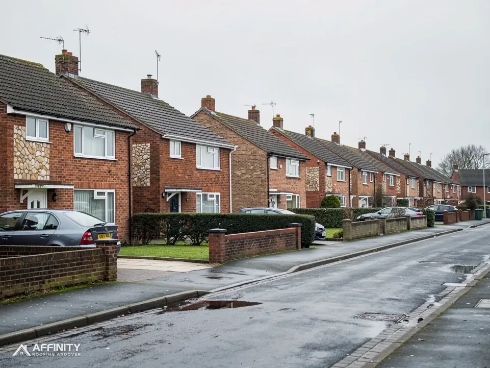
Roofers in Whitchurch-on-Thames
Church Cottages, a 2026 appraisal and the Chilterns edge
Whitchurch-on-Thames has a conservation area appraisal dated 2026, and the Chilterns National Landscape covers about 75 per cent of its surrounding box. We survey before we advise.
Whitchurch-on-Thames roofs, High Street to hillside
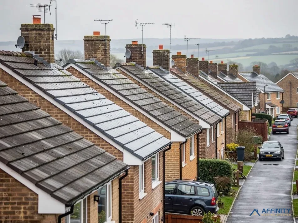
High Street buildings
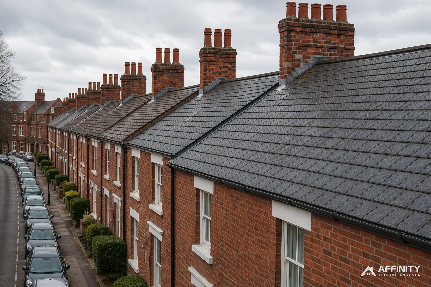
The council's appraisal dates the greater part of the High Street to before 1914.
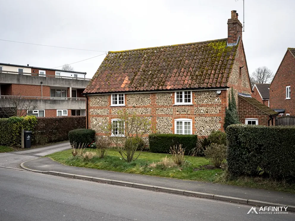
Church Cottages
A Grade II listed group, first listed on 20 July 1977, near the Grade II* church of St Mary.
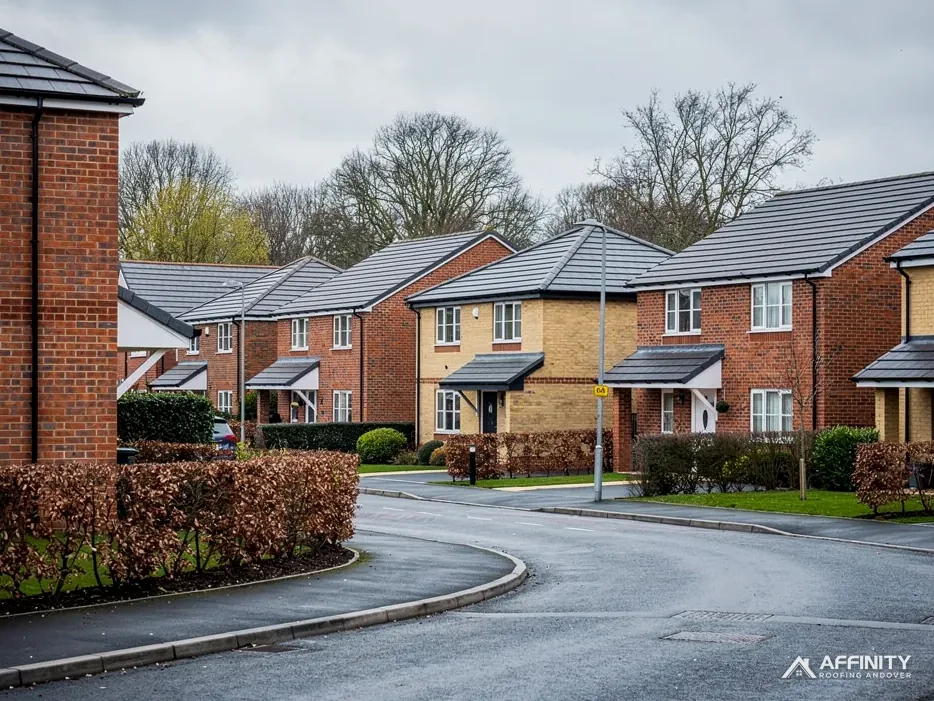
Eastfield Lane and Hardwick Road
Streets where the appraisal dates the building to the mid to late 20th century.
Whitchurch-on-Thames and its neighbours
Pangbourne is just south across the river, with Theale further south, Bradfield off to the south-west and Tilehurst away to the south-east.
- Distance
- 30 road miles north-east of Andover
- Planning
- South Oxfordshire District Council
- Council
- South Oxfordshire District Council and Oxfordshire County Council
The Whitchurch-on-Thames roof report
Local editionWhitchurch-on-Thames, OxfordshireA conservation area on the Oxfordshire bank
Whitchurch-on-Thames: an Oxfordshire bank, a 2026 appraisal and the Chilterns above
Whitchurch-on-Thames lies north-east of Andover, 30 miles by road, in South Oxfordshire. This report covers the councils that decide on roofs, what the council's 2026 conservation area appraisal says, and how the Chilterns designation fits in.
South Oxfordshire, Southvale and the county
Whitchurch-on-Thames stands on the north bank of the Thames, in Oxfordshire, and the councils that matter here are not the ones we meet nearer Andover. South Oxfordshire District Council is the local planning authority. Oxfordshire County Council keeps the roads. Building control belongs to Southvale Building Control, one team that serves South Oxfordshire and the Vale of White Horse together. At the 2021 Census the parish had 841 usual residents, all of them on the Oxfordshire side of the water.
The river matters because Pangbourne, just over it, belongs to West Berkshire, with its own building control team and its own scaffold terms. Crews who cross the bridge for a job must switch rulebooks at the same moment. Before we say anything about consents, we confirm the council for the exact address, and we read that council's pages and no other.
On building control, the Planning Portal's cut-offs are 25 per cent of the building envelope and 50 per cent of the roof, and a re-roof under both is generally left alone. A repair to one slope or a relined valley is far inside. Stripping a house to its battens is not, and for that we put the question to Southvale before we write a price.
Weight is a second route into approval. Any covering that adds 15 per cent or more to the load brings Building Regulations into play, and the Portal advises a structural view first. Old frames are the worry: a timber roof built for clay or slate may not welcome concrete. It is worth settling before materials are ordered.
As a private alternative you may appoint a registered building control approver; the registration regime dates from 6 April 2024. We lay out the routes available for your address, in writing and with the survey pictures, before anything is booked.
The same river shapes access for materials. A load of tile or lead for a High Street job arrives by the village road, and the crew parks where the street allows, so we agree the delivery and parking plan with you beforehand. Deliveries are timed to suit the street, and neighbours are told which days to expect a lorry. It is a small courtesy, and in a village it counts for a good deal, since a blocked lane is remembered long after a repaired roof is forgotten.
Planning follows its own rules, which our guide to planning permission for roof work sets out for houses, flats and listed homes. It is worth reading before you decide on a new covering or a change of shape.
A 2026 appraisal, Church Cottages and St Mary's
South Oxfordshire District Council published a conservation area appraisal for Whitchurch-on-Thames in 2026, and a roofer can learn a lot from it. The appraisal records red brick as the commonest building material, with flint on boundary walls, and it names plain tiles and Welsh slate among the roof coverings. It dates the greater part of the High Street to before 1914, and the building along Eastfield Lane and Hardwick Road to the mid to late 20th century. The village road, probably Roman in origin, once crossed the Thames by a ford near the present toll bridge.
St Mary's church holds Grade II* status (National Heritage List entry 1059494), first listed on 9 February 1959. Church Cottages are Grade II (entry 1059496), first listed on 20 July 1977. Historic England's list records 24 listed buildings within 500 metres of the village point. The conservation area mapping draws on two councils, since the Whitchurch conservation area lies on the Oxfordshire side and Pangbourne's on the other.
St Mary's still has an Anglican congregation, so roof works there go through the faculty system, not listed building consent. For a listed house the path runs through South Oxfordshire District Council: listed building consent comes first whenever the work would change its character, with any ordinary permission on top. We open with repair in matching materials, and the appraisal helps us judge what matches.
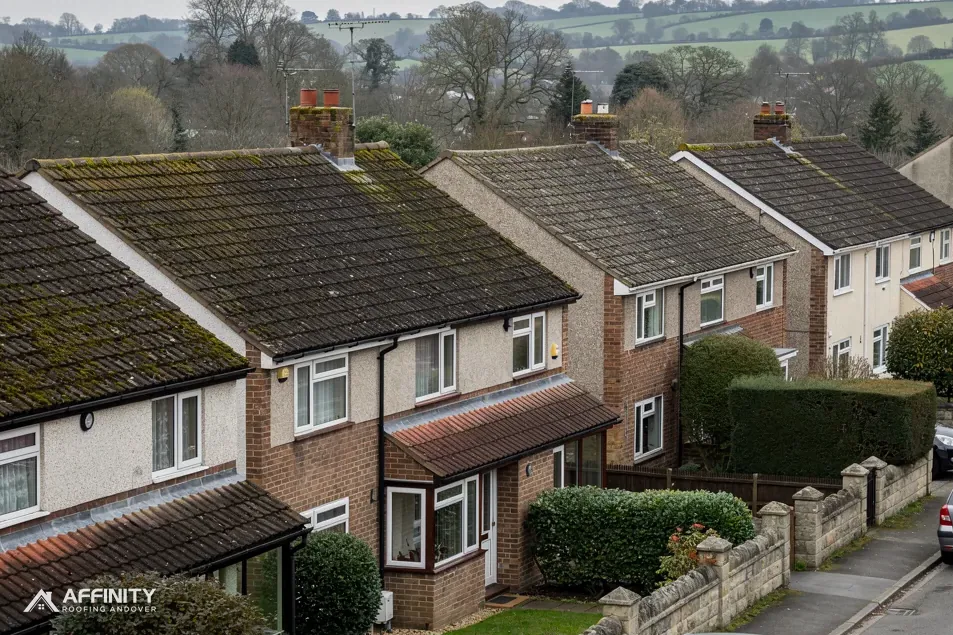
The appraisal also shows how the village was put together over time, and that shapes what a good repair looks like. A High Street roof from before 1914 wants natural materials in the right size and tone. A mid-20th-century house on Eastfield Lane wants a covering that suits its own period, with no pretence of age. Each building is matched to itself.
Whether your road is inside the conservation area is for the council's map to say, so ask its planning team that, and put the Article 4 question to them too. Our pictures of the roof today show the officer the covering itself and not a description of it.
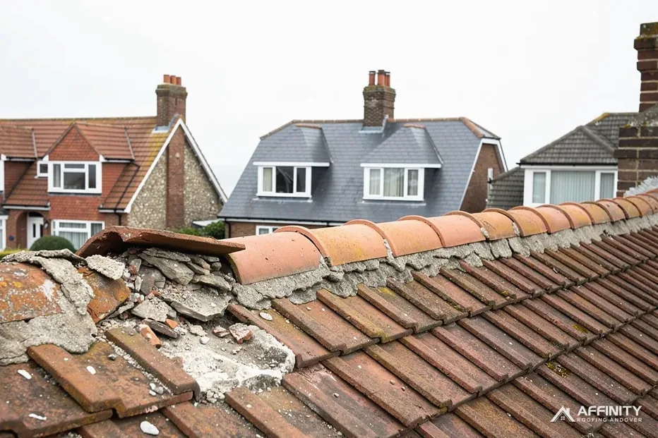
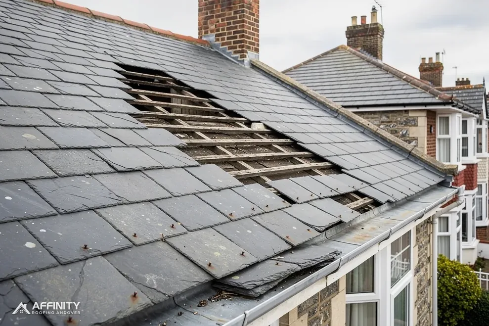
Each of the village's building periods fails differently. A roof of plain clay tile from before 1914 may have nibs that have snapped and nails that have rusted, so tiles slip while looking whole. A Welsh slate roof loses slates when the fixings corrode. A newer roof of concrete tile suffers more at the ridge and verge, where mortar and clips are the weak points. The survey looks for the failure that belongs to the roof's own age, and the repair follows from that. It also shows the owner what each repair will involve.
“Whitchurch-on-Thames is an Oxfordshire address, and the river is the boundary.”
The Chilterns edge, the scaffold and the work
About 75 per cent of the 1.5 km box around the village falls in the Chilterns National Landscape, formerly an AONB, and land rises sharply to the Chilterns plateau to the north. In such a landscape the planning rules get stricter where a roof's form would change, for instance with a new dormer, whereas repair work proceeds as normal. In an AONB the council keeps the main planning role, according to the North Wessex Downs partnership's planning page, so South Oxfordshire District Council decides.
A scaffold on the village street needs a licence under section 169 of the Highways Act 1980, from Oxfordshire County Council as highway authority. Who applies is worth asking when you book; the scaffolder and we sort the licence out between us. Where the poles stay wholly inside your boundary, no highway licence arises.
Frontage is the main factor. Where houses open straight onto the street the scaffold must go on the road, and the licence enters the timetable. Where a garden or drive lies in front, it may not. The survey records which you have, and the written price follows from it.
The work is the familiar run. We take roof repairs after slipped tiles or lifted ridges, slate roofing where Welsh slate has slipped or the fixings have gone, and chimney repairs where pointing or flashing has failed. Each job starts from the survey and its photographs, and a single written price comes after.
The hillside has a practical side too. A roof on rising ground can be reached from different sides, and a tight lane may make the delivery lorry the main constraint. We note the slope of the plot and the width of the lane at the survey, since both change how a scaffold is erected and how materials come up. Where access is tight, smaller loads are planned instead of one large drop. Waste leaves the same way, so a narrow lane can mean more, smaller trips.
Where a covering has years in it, a repair is right, and the pictures show that. Where battens and underlay have failed, they show that instead. You see the pictures before any materials are ordered.
Consent can hold the whole thing up, so a pending decision means the scaffold booking waits. When everything is in place, the crew is told the plan, the neighbours are told the dates, and the site is cleared of waste at the end of each day. In a village a roof job is also a neighbour's concern, so a note through the doors on either side is part of our planning.
Roofing help for Whitchurch-on-Thames streets
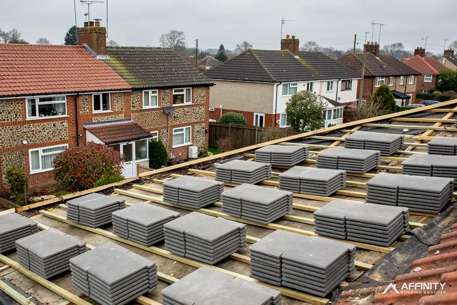
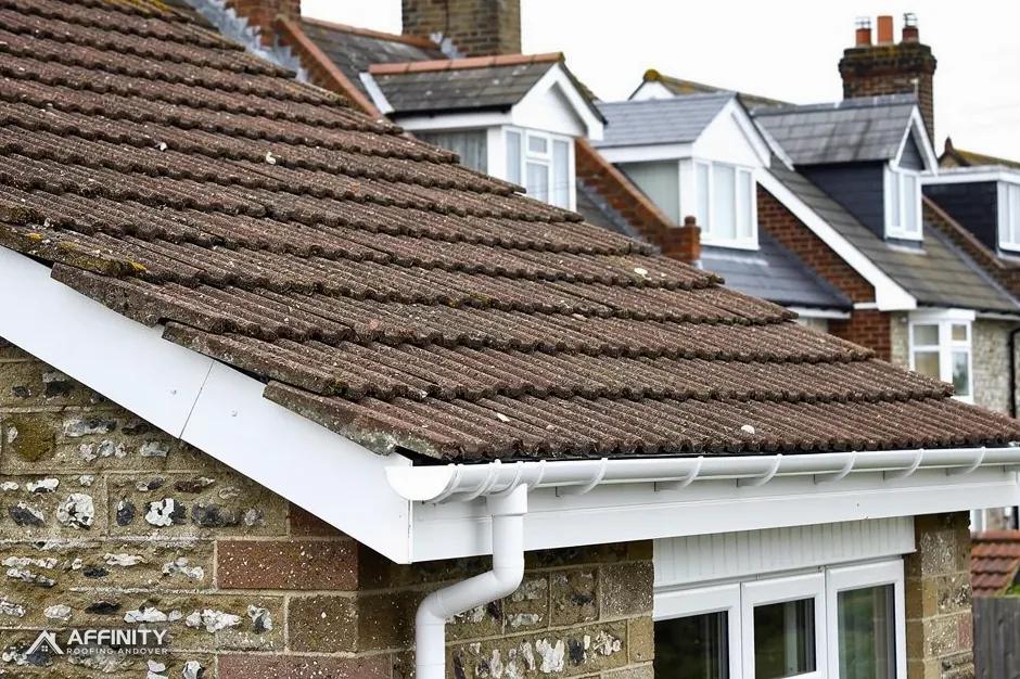
Whitchurch-on-Thames roofs: appraisal, church and landscape
Do Whitchurch-on-Thames High Street roofs need matching tiles?
In the conservation area, the council's 2026 appraisal is the guide, and it names plain tiles and Welsh slate among the roof coverings. Matching the existing size and tone is the usual aim, and a listed building needs consent for work affecting its character. The planning team at South Oxfordshire District Council can confirm the position for your address. We photograph the covering first so the council sees what is there.
Which council deals with the Whitchurch bank of the Thames?
South Oxfordshire District Council handles planning, Southvale Building Control deals with building control, and Oxfordshire County Council is the highway authority. Pangbourne, across the river, belongs to West Berkshire Council and a different building control team, so the river decides which council's pages we read before we give you a route. Your survey report states which council covers the house.
Is the Church of St Mary repaired under listed building consent?
No. St Mary's is Grade II* and still in Anglican use, so works to it need a faculty, not listed building consent. Its faculty comes from the diocese's consistory court, Whitchurch-on-Thames' church included. Our part is to provide a plain description and pictures of the covering, so whoever decides can see the roof as it stands. Listed building consent does not apply to the church while it is in use.
Does the Chilterns designation stop a re-roof here?
No. Repairs, and coverings chosen to match, proceed as normal. The designation matters when a roof changes form, as a dormer does, where tighter planning rules apply. South Oxfordshire District Council stays the planning authority, and our planning guide explains the position for houses and listed homes, which is worth reading first. Tell us the address and we can say which category your roof falls into, with the reasons in writing.
A Whitchurch-on-Thames roof survey
Message the postcode and a photo. We survey, check South Oxfordshire's route, then quote one written total.
10-year workmanship guarantee, in writing.